Date Published
March 25, 2015
Summary
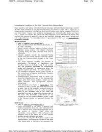
Major aquifers, well yields, estimated natural recharge, estimated water in storage, number of index wells and date of last water-level sweep are shown in Table 2.1-6. Figure 2.1-7 shows aquifer boundaries, aquifer flow direction and water-level change between 1990-1991 and 2003-2004.
Cited In
Reference Information
Arizona Department of Water Resources. 2015d. Groundwater Conditions in the Little Colorado River Plateau Basin. Online data retrieved at [Link Outdated]. Accessed March 12, 2015.
Webpage no longer available - see ADWR Hydrology Groundwater Modeling.


