Date Published
January 21, 2011
Document Category
Report Category
Summary
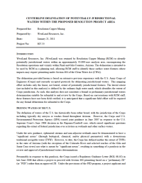
Identification of potentially jurisdictional waters within an approximately 45,000-acre analysis area, encompassing the Resolution operations and vicinity within Pinal and Gila Counties, Arizona. The delineation is intended to be used by RCM as a planning tool, allowing RCM staff to identify those surface water features where impacts may require permitting under Section 404 of the Clean Water Act.


