In May 2010 the Tonto National Forest (TNF) completed a National Environmental Policy Act (NEPA) review of the proposed action to authorize mining pre-feasibility activities on the Globe Ranger District in Pinal and Gila Counties, Arizona.
The Forest Service, an agency within the United States Department of Agriculture, is proposing to amend the 1985 Tonto National Forest Land and Resource Management Plan with a management plan for the approximately 839-acre Apache Leap Special Management Area established by Congress in December 2014 through the Carl Levin and Howard P. “Buck” McKeon National Defense Authorization Act for Fiscal Year 2015.
The current on-line catalog also lists, for some regions of the U.S., mining events that were located by regional networks prior to August 2013 and that were not originally listed in catalogs produced by the USGS/NEIC.
The purpose of this work was to identify the presence or potential presence of recognized environmental conditions (RECs) resulting from past or present activities.
Lithostatic stresses and their redistribution around mine excavations are thought to be the dominant driving force in the generation of most mine tremors and rockbursts.
Topics include land use, demographics, specific industry sectors, the role of non-labor income, the wildland-urban interface, the role of amenities in economic development, and payments to county governments from federal lands.
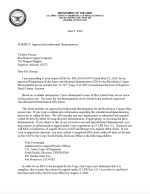
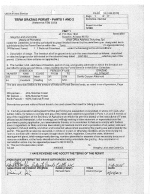
Based on available information, I have determined waters of the United States do not occur on the project site. The basis for our determination can be found in the enclosed Approved Jurisdictional Determination (JD) forms.
Materials that meet the criteria of Freedom of Information Act exemptions are not posted on this website. Culturally sensitive materials not posted here fall under this criteria.