Date Published
October 2, 2017
Document Category
Report Category
Summary
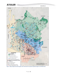
Computed flood flow frequency and volume‐duration‐frequency values for points of interest on Queen Creek and Devil’s Canyon. The intent is to quantify surface water hydrology in these two watersheds to assist Resolution Copper Mining (RCM) with assessment of potential impacts to surface water flows associated with the proposed mining and associated activities near Superior, Arizona.
Reference Information
Lehman, T. 2017. USGS Regression Equation Computations for Queen Creek and Devil's Canyon. Memorandum. Tempe, Arizona: JE Fuller. October 2.


